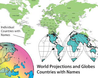
One of the new maps we have add in our recent World of Maps upgrade is a Mercator projection with individual countries and their names. This has been a very popular map with our PowerPoint users. Anyone doing a presentation where they have to show international offices or plotting data, this is the map. We also have a matching Adobe Illustrator version that has all the same features. The maps are completely editable and all elements can be changed, moved, put into new groups, text added and a question we are often asked, can they be deleted, the answer is yes.
No comments:
Post a Comment