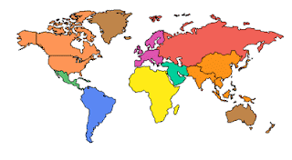
We continue to move forward with loading our editable powerpoint maps up on our new site. Below is the latest group. You can check them out at www.mapsfordesign.com. All of these maps are editable in PowerPoint. You just click on a state or country with your pointer and select a color from the drawing bar below and presto you can set up a sales or marketing territory
Our USA and Canada Editable PowerPoint Maps
USA with 2 Letter State Names - PowerPoint File
USA and Canada Combo Map, State, Provinces & Territories - PowerPoint File
USA with States and Names - PowerPoint File
North America, Canada, USA and Mexico Map, States and Provinces - PowerPoint File
North America Outline Map, Canada, USA, Mexico, Cities - PowerPoint File
USA 50 States, No Text - PowerPoint File
USA 50 State, Highway and Major City Map - PowerPoint File
USA 50 State, Major City and Capitals Map - PowerPoint File
USA and Mexico Map, Editable States - PowerPoint File
USA with 50 State and Capital Names - PowerPoint File
World Projection Editable Maps in PowerPoint
World Mercator Projection, Individual Editable Countries, Europe Centered - PowerPoint File
World Robinson Projection, Individual Editable Countries, Europe Centered - PowerPoint File
Sinusoidal 6 Point World Projection, Europe Centered - PowerPoint File
World Robinson Projection, Europe Centered, Continents - PowerPoint File
World Robinson Projection, North America Centered, Continents - PowerPoint File
World Mercator Projection, Europe Centered, Continents - PowerPoint File
World Mercator Projection, North America Centered, Continents - PowerPoint File
World Mercator Projection, Europe Centered, Continents - PowerPoint File
World Mercator Projection, Australia Centered, Continents - PowerPoint File
No comments:
Post a Comment