Let Me Show You How Easy the Maps are to Color and Edit in this new video on our editable PowerPoint World Projection Maps. Each country in the map is an individual object that you can select and color. Select the Country with your pointer, and fill with a new color.
All text is fully editable and can be added or changed. Use the insert text box in your tool bar and add new text.
It is easy to delete an element you don’t want or grab ones that you do to build a custom map.
Because the maps are vector outlines the countries can be enlarged to reduced with no loss of sharpness, just group the countries and change the size. Right Click on your mouse or Control Click
You can add any of the PowerPoint objects or shapes such as a star, arrow or boxes to your map
Each map comes pre-loaded in a PowerPoint slide deck, you have a full map with land and text, just land, and just the text.
Maps can be shared with your team on multiple computers for no additional cost and are easy to email to anyone.
To learn more about our editable world projection PowerPoint maps please click this link:
https://www.mapsfordesign.com/product-category/world-projection-maps/
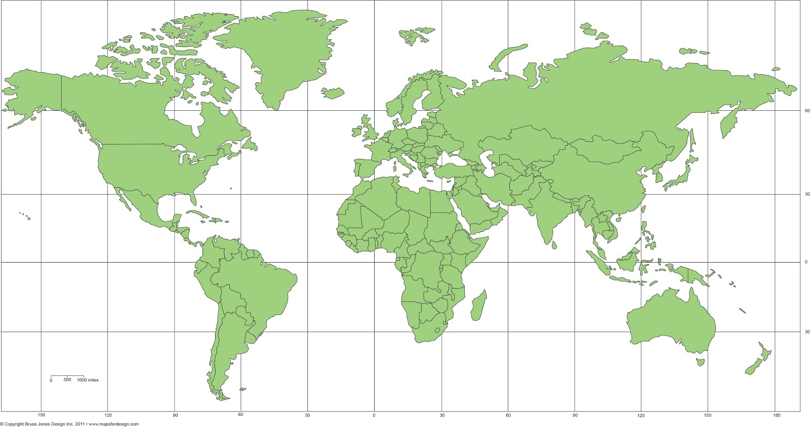
World Mercator Map, in PowerPoint, fully editable, ready to be customized for your presentation. Comes with and with out names.
No comments:
Post a Comment