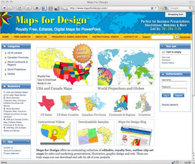
After a brief break we have relaunched our single downloadable editable Powerpoint clip art map site, MapsforDesign.com. The site carries a full line of editable PowerPoint maps for sales and marketing presentations, illustrations, web sites and classroom projects. Containing PPT maps of the World, US, States, Counties, World Regions, Countries and Globes. The site has a new look, is more efficient and will have an expanded collection of maps. Along with all the new features we have added the full line of our "How To Customize" videos to the site. Maps can be purchases individually for your projects. You can also purchase a CD if you wanted the entire collection.
If you need more than three PowerPoint maps we recommend you use our subscription site www.bjdesign.com where you can download as many maps as you want for one fixed price. Either way we have got you covered. BJDesign also carries the full line of Adobe Illustrator and jpg maps.
For an individual map, http://www.mapsfordesign.com
If you need lots of maps, http://www.bjdesign.com
No comments:
Post a Comment