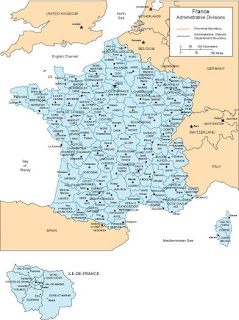
Map of France with all of the provinces and administrative districts, including captials of each. Available in both PowerPoint and Adobe Illustrator formats. This is one of over 90 world country maps in our collection of editable clip art maps. Check out our subscription site with unlimited download www.bjdesign.com to see more
No comments:
Post a Comment